Surveying techniques in Geographic Information Systems (GIS) involve the methods and tools used to accurately determine the spatial location of […]
GPS and GNSS in GIS are foundational technologies used to collect, manage, and analyze location-based data. Here’s a clear explanation […]
Topology in GIS (Geographic Information Systems) refers to the spatial relationships between features, such as how points, lines, and polygons […]
In Geographic Information Systems (GIS), there are two primary types of spatial data: Raster and Vector. Each type represents geographic […]
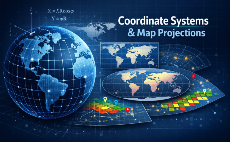
Coordinate Systems and Map Projections in GIS Geographic Information Systems (GIS) rely heavily on coordinate systems and map projections to […]
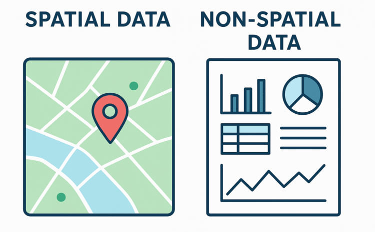
Here’s a clear comparison between spatial data and non-spatial data: Feature Spatial Data Non-Spatial Data Definition Data that represents the […]

LANDUSE MAP OF THE SELECTED GRID LANDUSE MAP OF THE SELECTED GRID WITH GRID
ANSWER: As evidenced in the screenshot below, there is a concentration of the Tri points for the year 2016 on […]
Step 1: Literature review on datasets needed for a flood analysis (Drainage, precipitation, infrastructure, coastline, tide levels, DTM) Step 2: […]

Analyzing Urban Growth Patterns Using RS and GIS in Brisbane, Australia Introduction The global rate of urbanization is increasing […]


Gabby Jones
Typically replies within a minute