Automating GIS Tasks with Python: A Practical Guide Geographic Information Systems (GIS) are powerful for analyzing spatial data, creating maps, and supporting decision-making. However, many GIS tasks—such as data cleaning, coordinate transformations, and repetitive map production—can be time-consuming when done…
Troubleshooting Geocoding in ArcGIS Geocoding is one of the most powerful features in ArcGIS, allowing you to convert addresses into geographic coordinates for mapping and analysis. But when geocoding doesn’t return the expected results, it can disrupt your workflow. This…
How to Convert GPS Points to a Shapefile in QGIS You can convert GPS points to an ESRI Shapefile in QGIS by importing the source data, defining its geometry and coordinate reference system, checking the result, and exporting the point…
How to Fix Geometry Errors in QGIS When working with spatial data, geometry errors are a common challenge. These errors can cause problems in analysis, overlays, and exports. Luckily, QGIS provides several tools to identify and fix invalid geometries efficiently.…
Best GIS Software for Real Estate Analysis in 2025 Geographic Information Systems (GIS) have become a game-changer for the real estate industry. By combining spatial data with advanced analytics, GIS tools allow investors, brokers, developers, and urban planners to make…
NAD83(CSRS) vs NAD83(Original): What Is the Difference in Canada? NAD83(Original) and NAD83(CSRS) are related Canadian realizations of the North American Datum of 1983, but they are not interchangeable labels. They come from different control networks, measurement technologies, reference-frame definitions, and…
How to Perform Spatial Joins in ArcGIS Pro: A Complete Guide Spatial joins are among the most powerful analytical tools in GIS, enabling you to combine datasets based on their geographic relationships rather than shared attribute values. Whether you’re analyzing…
How to Label Roads and Rivers in QGIS Good labels make a map easier to read without competing with the features themselves. Roads and rivers are both line features, but they need different treatment. Road labels usually emphasize hierarchy, route…
Key Sources & What You Can Download 1. Texas Water Development Board (TWDB) – Flood Planning Data Hub 2. TWDB GIS Resources Hub 3. FEMA – National Flood Hazard Layer (NFHL) & Flood Map Service Center (MSC) 4. Additional Sources…
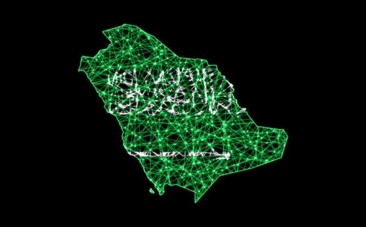
Free GIS Data for Saudi Arabia (KSA): Sources for QGIS and ArcGIS Finding reliable GIS data for Saudi Arabia can be difficult because datasets are spread across government portals, international research projects, OpenStreetMap-based services, and specialist providers. The best source…