Unleashing the Power of LiDAR Data in ArcGIS LiDAR (Light Detection and Ranging) technology has revolutionized how we capture, analyze, […]

Unleashing the Power of LiDAR Data in ArcGIS LiDAR (Light Detection and Ranging) technology has revolutionized how we capture, analyze, […]

Python GIS for Hydrological Modeling Hydrological modeling has undergone a significant transformation with the advent of open-source Geographic Information Systems […]

Python Spatial Statistics for GIS Spatial statistics combines statistical analysis with geographic data to understand patterns, relationships, and processes that […]
Python for Spatial Clustering in GIS Spatial clustering is a fundamental technique in Geographic Information Systems (GIS) that groups spatial […]
Python GIS Open Source Libraries Python has emerged as the dominant programming language for geospatial analysis and Geographic Information Systems […]
GeoPandas vs Shapely vs Fiona: A Complete Guide to Python GIS Libraries Python has become the go-to language for Geographic […]

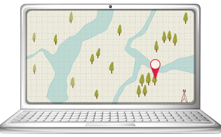
The Best ArcGIS Online Templates for Interactive Maps Interactive mapping has become essential for organizations looking to visualize data, tell […]

How to Publish a Raster Dataset to ArcGIS Online Publishing raster data to ArcGIS Online allows you to share imagery, […]

How to Connect ArcGIS Pro to a PostGIS Database PostGIS is a powerful spatial extension of PostgreSQL that adds support […]
Automating GIS Tasks with Python: A Practical Guide Geographic Information Systems (GIS) are powerful for analyzing spatial data, creating maps, […]

Typically replies within a minute