Complete Guide to Labeling Roads and Rivers in QGIS Labeling is a crucial aspect of cartographic design that transforms raw […]


Complete Guide to Labeling Roads and Rivers in QGIS Labeling is a crucial aspect of cartographic design that transforms raw […]
QGIS Symbology for Population Density Maps Population density maps are essential tools for understanding demographic patterns, urban planning, and resource […]
How to Add Basemaps in QGIS Basemaps provide essential geographic context for your spatial data in QGIS. They serve as […]

Home Security Camera GPS Mapping: The Complete Guide to Location-Based Security Systems Modern home security has evolved far beyond simple […]
How to Use the Raster Calculator in ArcGIS The Raster Calculator in ArcGIS is a powerful tool for performing map […]
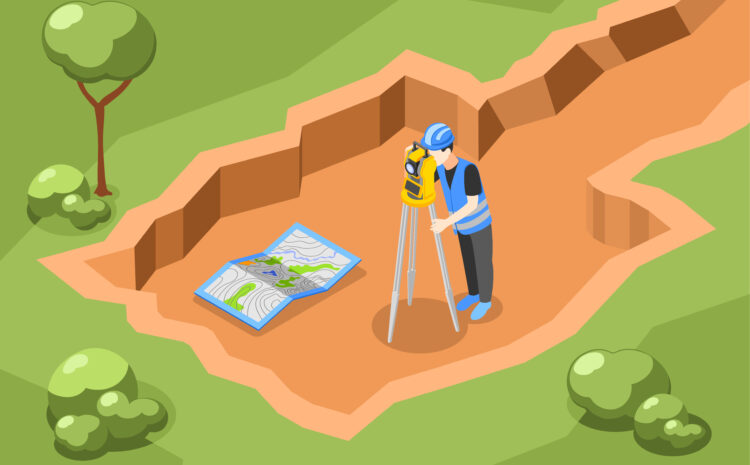
How to Georeference a Map in ArcGIS Georeferencing is the process of assigning real-world coordinates to a map or an […]
How to Join Two Tables in ArcGIS Joining tables in ArcGIS is a fundamental GIS task that allows you to […]

Complete Guide: How to Convert Shapefile to KML Shapefiles are the cornerstone of GIS data storage, but when you need […]
Complete Guide to Migrating from ArcMap to ArcGIS Pro ArcMap, while reliable, reached its end-of-life support in March 2026. ArcGIS […]

Import CAD Data into ArcGIS Pro Transform your CAD designs into powerful geospatial data with ArcGIS Pro’s robust CAD integration […]

Typically replies within a minute