Metadata standards are structured frameworks for describing geospatial data. They ensure consistency, interoperability, and discoverability of datasets. Two of the […]
Here’s a quick overview of common geospatial data formats, each suited for different types of geographic data and use cases: […]
Spatial Databases in GIS (Geographic Information Systems) are specialized databases designed to store, query, and manipulate spatial or geographic data. […]
Crowdsourced geographic data in Geographic Information Systems (GIS) refers to spatial information collected, shared, or validated by the general public—often […]
LiDAR (Light Detection and Ranging) and photogrammetry are two powerful remote sensing technologies used extensively in Geographic Information Systems (GIS) […]
Surveying techniques in Geographic Information Systems (GIS) involve the methods and tools used to accurately determine the spatial location of […]
GPS and GNSS in GIS are foundational technologies used to collect, manage, and analyze location-based data. Here’s a clear explanation […]
Topology in GIS (Geographic Information Systems) refers to the spatial relationships between features, such as how points, lines, and polygons […]
In Geographic Information Systems (GIS), there are two primary types of spatial data: Raster and Vector. Each type represents geographic […]
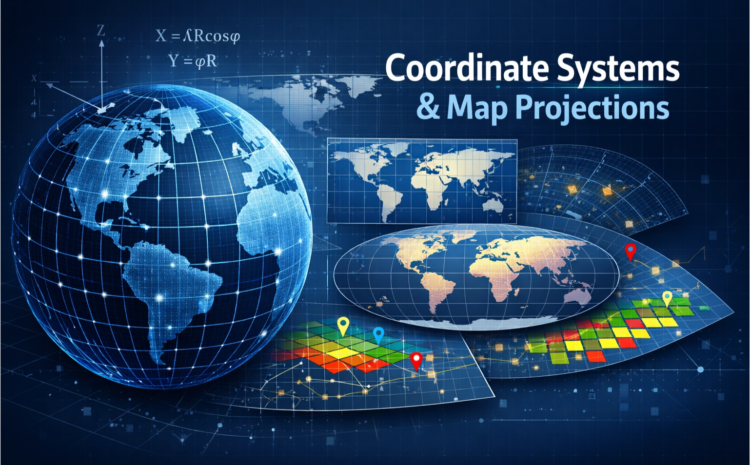
Coordinate Systems and Map Projections in GIS Geographic Information Systems (GIS) rely heavily on coordinate systems and map projections to […]


Gabby Jones
Typically replies within a minute