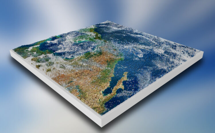
Augmented Reality (AR) and Virtual Reality (VR) are increasingly being integrated with GIS to create immersive, spatially-aware experiences. AR overlays […]
FME is a no-code data integration platform (by Safe Software, Canada) focused on geospatial ETL. Originally a “Feature Manipulation Engine” […]
Geographic Information Systems (GIS) increasingly rely on scripting to automate repetitive tasks, ensure reproducibility, and integrate complex analyses. The dominant […]
R for Spatial Analysis Spatial analysis involves working with geographically referenced data (with coordinates) and is increasingly important across disciplines. […]
Cloud-based Geographic Information Systems (GIS) provide scalable, server-hosted tools for mapping and spatial analysis without on-premises infrastructure. Two prominent offerings […]
Web mapping platforms have revolutionized how we create interactive maps for web and mobile applications. This report compares three prominent […]
Web-based GIS (Web GIS) systems are typically organized in a multi-tier client–server architecture. At a high level, a Web GIS […]
Web Map Service (WMS): An OGC-standard web service for serving georeferenced map images (renders) over HTTP. A WMS server generates […]
GIS (Geographic Information Systems) has become an indispensable tool in disaster management and risk assessment. It enables the collection, analysis, […]
Geographic Information Systems (GIS) have become indispensable in public health, offering a spatial lens to analyze and address health issues. […]
Gabby Jones
Typically replies within a minute