Urban centers across Canada are undergoing rapid transformation. From addressing climate change and population growth to fostering inclusive, sustainable communities, […]


Urban centers across Canada are undergoing rapid transformation. From addressing climate change and population growth to fostering inclusive, sustainable communities, […]
GeoBase is one of Canada’s most important repositories of geospatial data, providing authoritative, standardised datasets critical for everything from environmental […]
Complete Guide: How to Download and Use GeoBase Elevation Data in QGIS What is GeoBase Elevation Data? GeoBase Elevation Data […]

Geographic Information Systems (GIS) are at the heart of modern spatial analysis, urban planning, environmental monitoring, and much more. In […]
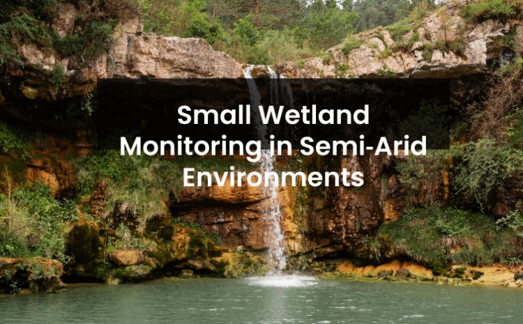
Small Wetland Monitoring in Semi‑Arid Environments: Why It Matters & How to Do It Right In the heart of semi-arid […]
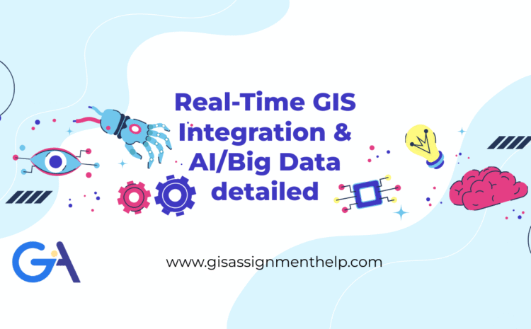
Real-Time GIS Integration with AI & Big Data: Transforming Decision-Making Across Industries In today’s hyper-connected world, the fusion of Geographic […]
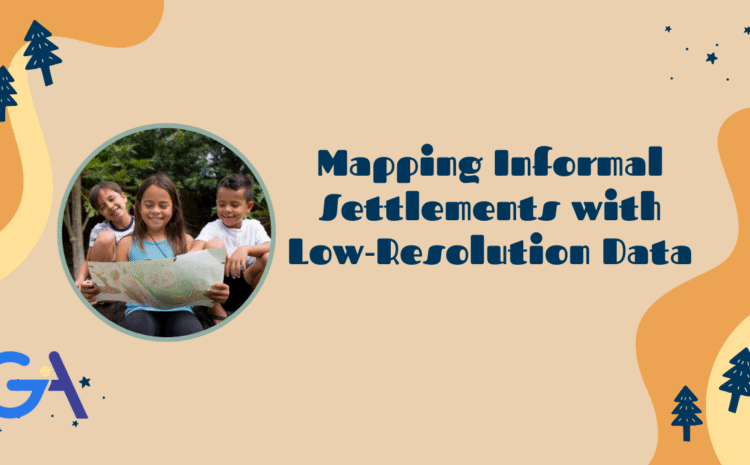
Mapping Informal Settlements with Low‑Resolution Data: Challenges, Techniques, and Innovations Informal settlements, often referred to as slums or shantytowns, are […]
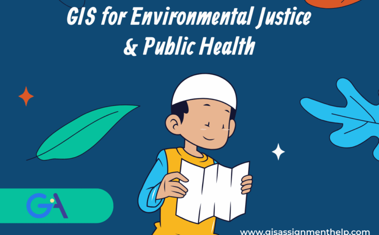
What is GIS in Environmental Justice? GIS is a digital mapping technology that captures, stores, analyzes, and visualizes spatial or […]
In the era of high-tech satellites and AI-driven analytics, there’s a growing movement to ensure that the voices of local […]
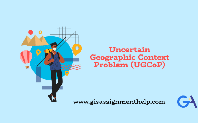
Understanding the Uncertain Geographic Context Problem (UGCoP): A Hidden Challenge in Spatial Analysis In spatial data science, we often trust […]

Typically replies within a minute