
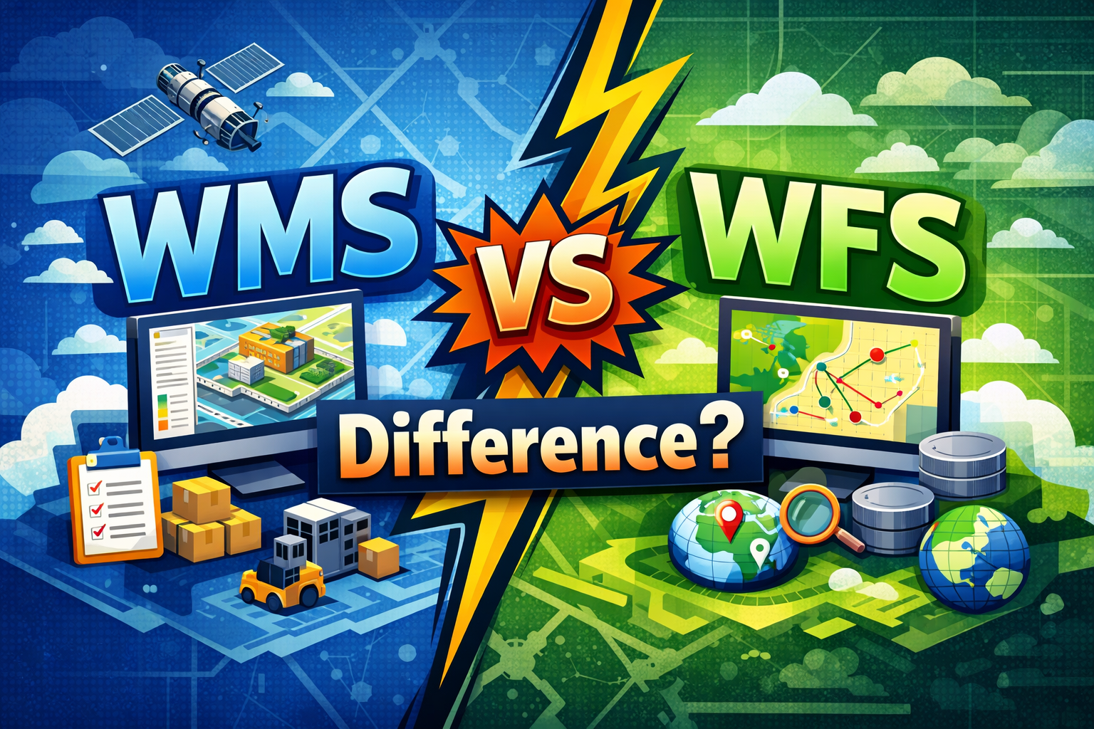
In the realm of Geographic Information Systems (GIS), the ability to share and consume spatial data over the web is governed by standards established by the Open Geospatial Consortium (OGC). Two of the most fundamental standards are the Web Map Service (WMS) and the Web Feature Service (WFS). While both are used to deliver geospatial information, they serve distinct purposes, operate differently, and provide different levels of data access.
1. Web Map Service (WMS)
The Web Map Service (WMS) is primarily a visualization standard. It is designed to provide a “picture” of geographic data rather than the data itself. When a client requests data from a WMS server, the server processes the spatial data, applies cartographic styling (such as colors, line weights, and labels), and returns a rendered image.
Key Characteristics of WMS
- Output Format: Typically raster images such as PNG, JPEG, or GIF.
- Rendering: Performed on the server-side. The server does the heavy lifting of drawing the map.
- Interactivity: Limited. Users can pan and zoom, but they cannot easily manipulate the underlying geographic features.
- Bandwidth: Efficient for complex maps because the client only receives a single image file, regardless of how many layers or features are being displayed.
Core WMS Operations
| Operation | Description |
| GetCapabilities | Returns metadata about the service, including available layers and supported formats. |
| GetMap | Returns a map image for a specified geographic area (bounding box) and set of layers. |
| GetFeatureInfo | (Optional) Returns attribute information for a specific point on the map image. |
2. Web Feature Service (WFS)
The Web Feature Service (WFS) is a data access standard. Unlike WMS, which sends an image, WFS sends the actual vector data—the coordinates and attributes of the geographic features. This allows the client to perform analysis, change styling on the fly, or even edit the data.
Key Characteristics of WFS
- Output Format: Traditionally GML (Geography Markup Language), but modern implementations often support GeoJSON.
- Rendering: Performed on the client-side. The client (e.g., QGIS, ArcGIS Pro, or a web browser) receives the raw data and decides how to draw it.
- Interactivity: High. Users can select individual features, view their full attribute tables, and perform spatial queries.
- Bandwidth: Can be high. If a layer contains thousands of complex polygons, the data transfer can be significantly larger than a simple WMS image.
Core WFS Operations
| Operation | Description |
| GetCapabilities | Returns metadata about the service and available feature types. |
| DescribeFeatureType | Returns the schema (structure) of a specific feature type. |
| GetFeature | Returns the actual geographic features (geometry and attributes). |
| Transaction | (WFS-T) Allows clients to create, update, or delete features on the server. |
3. Technical Comparison: WMS vs. WFS
The following table summarizes the primary technical differences between the two services:
| Feature | Web Map Service (WMS) | Web Feature Service (WFS) |
| Primary Goal | Visualization and display. | Data access and manipulation. |
| Data Type | Raster (Image). | Vector (Features). |
| Rendering Location | Server-side. | Client-side. |
| Styling | Defined by the server (SLD). | Defined by the client. |
| Analysis Capability | Very limited. | Full spatial and attribute analysis. |
| Editing | Read-only. | Supports editing (via WFS-T). |
| Performance | Fast for complex, large-scale maps. | Can be slow for very large datasets. |
| Standard Formats | PNG, JPEG, GIF. | GML, GeoJSON, KML. |
4. When to Use Which?
Choosing between WMS and WFS depends entirely on the requirements of the end-user and the nature of the application.
Use WMS When:
- You need to display a complex base map with many layers and labels.
- The end-user only needs to view the map and does not need to interact with individual features.
- You want to ensure consistent cartography across all clients.
- Bandwidth is a concern, or the client device has limited processing power.
Use WFS When:
- The user needs to perform spatial analysis (e.g., buffering, intersection).
- The user needs to edit the geographic data and save changes back to the database.
- You want the client to have full control over styling (e.g., changing colors based on attribute values).
- The user needs to access the full attribute information for all features in a layer.
5. The Evolution: OGC API – Features
It is worth noting that the OGC has recently introduced the OGC API – Features (formerly known as WFS 3.0). This modern standard is designed to be more developer-friendly, utilizing RESTful principles and JSON as the primary data format. It aims to replace the older, XML-heavy WFS standards with a more lightweight and web-native approach, making it easier to integrate geospatial data into modern web and mobile applications.
Conclusion
In summary, WMS is for seeing, while WFS is for doing. WMS provides a fast, pre-rendered view of a map, making it ideal for background layers and general visualization. WFS provides the raw building blocks of the map, enabling deep analysis and data management. In many professional GIS workflows, both services are used in tandem: WMS for the background context and WFS for the specific operational layers that require interaction.
