
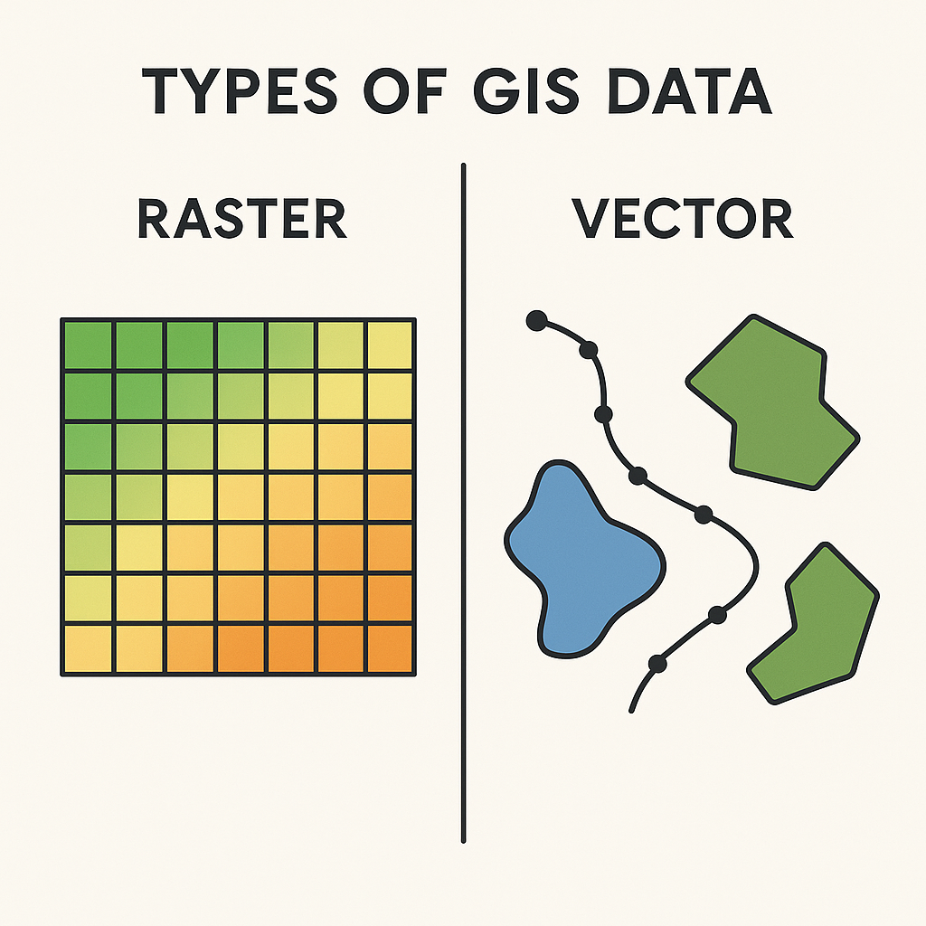
In Geographic Information Systems (GIS), there are two primary types of spatial data: Raster and Vector. Each type represents geographic features and spatial information in a different way.
Raster Data
- Definition: Raster data is a grid of cells (pixels), each with a value representing information, such as temperature, elevation, or land cover.
- Structure: Made up of rows and columns forming a matrix; each cell has a geographic location and a value.
- Best Used For:
- Continuous data (e.g., satellite imagery, aerial photos, elevation models)
- Surface analysis (e.g., slope, aspect)
- Examples:
- Digital Elevation Models (DEMs)
- Satellite images (e.g., Landsat)
- Land use/land cover maps
- File Formats: .tif, .img, .jpg, .png, .grd
Vector Data
- Definition: Vector data uses geometric shapes (points, lines, polygons) to represent discrete features.
- Structure:
- Points: Single x,y coordinates (e.g., trees, wells)
- Lines: Series of points forming paths (e.g., roads, rivers)
- Polygons: Closed loops defining areas (e.g., lakes, land parcels)
- Best Used For:
- Discrete features
- Network analysis
- Precise boundaries
- Examples:
- Administrative boundaries
- Transportation networks
- Property parcels
- File Formats: .shp, .geojson, .kml, .gdb
Summary Table
| Feature | Raster | Vector |
|---|---|---|
| Data Type | Pixel/grid-based | Coordinate-based |
| Best For | Continuous data | Discrete data |
| Storage | Large files for high resolution | More compact for discrete features |
| Examples | Elevation, satellite imagery | Roads, boundaries, cities |
| Geometry Types | None (just grid cells) | Points, lines, polygons |
Raster vs Vector
1. Data Structure
| Aspect | Raster GIS | Vector GIS |
|---|---|---|
| Basic Concept | Grid of cells (pixels), each cell stores a value representing information such as elevation, temperature, or land cover type. | Uses points, lines, and polygons to represent spatial features directly. |
| Storage Structure | Matrix (rows × columns) with equal-sized cells. | Coordinate-based geometry (x, y pairs in a defined coordinate system). |
| Data Type | Continuous or discrete values stored in each cell. | Discrete features with associated attribute tables. |
| Resolution | Defined by cell size (e.g., 30 m × 30 m). Smaller cell size = higher resolution, but larger file size. | Independent of resolution — precision depends on coordinate accuracy. |
2. Representation of Space
- Raster:
- Continuous surfaces like elevation, temperature, or rainfall.
- Every location has a value (even “no data”).
- Suitable for data from sensors or remote sensing.
- Vector:
- Discrete objects like roads, boundaries, rivers.
- Can represent precise shapes and locations without pixelation.
- Ideal for map features that have exact shapes.
3. Data Sources
- Raster Sources:
- Satellite imagery (Landsat, Sentinel)
- Aerial photography
- Digital Elevation Models (DEMs)
- Scanned paper maps
- Vector Sources:
- GPS survey data
- Digitized maps
- CAD drawings
- Administrative boundaries databases (e.g., shapefiles)
4. Spatial Analysis
| Functionality | Raster GIS | Vector GIS |
|---|---|---|
| Overlay Operations | Cell-by-cell mathematical operations; easy for continuous data analysis. | Overlay via topological relationships; great for discrete features. |
| Surface Analysis | Very efficient for slope, aspect, and viewshed calculations. | Not well-suited for continuous surface modeling. |
| Distance & Proximity | Euclidean or cost-distance models are straightforward. | Network distance analysis works better here (roads, utilities). |
| Storage & Computation | Large datasets for high resolution; processing often requires more memory. | Smaller file sizes for sparse datasets; computations depend on topology. |
5. Advantages and Disadvantages
Raster Advantages:
- Simple structure for computers.
- Easy integration with remote sensing.
- Excellent for modeling continuous variables.
- Fast for certain spatial analyses.
Raster Disadvantages:
- Large file sizes for fine resolution.
- Limited precision of boundaries (stair-step effect).
- Less visually appealing for vector-like features.
Vector Advantages:
- Precise location and shape representation.
- Compact file sizes for discrete features.
- Supports complex topology (adjacency, connectivity).
- High-quality cartographic output.
Vector Disadvantages:
- Complex structures for storage and processing.
- Not well-suited for continuous surface analysis without interpolation.
- Overlay operations can be slower for large datasets.
6. Common File Formats
- Raster: GeoTIFF (.tif), IMG, NetCDF, ASCII grid
- Vector: Shapefile (.shp), GeoJSON, GPKG, KML
7. Typical Applications
Raster GIS is preferred for:
- Land cover classification
- Environmental modeling (rainfall, temperature maps)
- Remote sensing imagery analysis
- Digital elevation/slope analysis
Vector GIS is preferred for:
- Urban planning and cadastral mapping
- Road and utility network management
- Political boundaries and demographic mapping
- Navigation and routing
8. A Quick Analogy
Think of Raster as a photograph (pixel-based, great for gradients and continuous tone)
and Vector as a blueprint (precise lines, scalable without loss of quality).
