
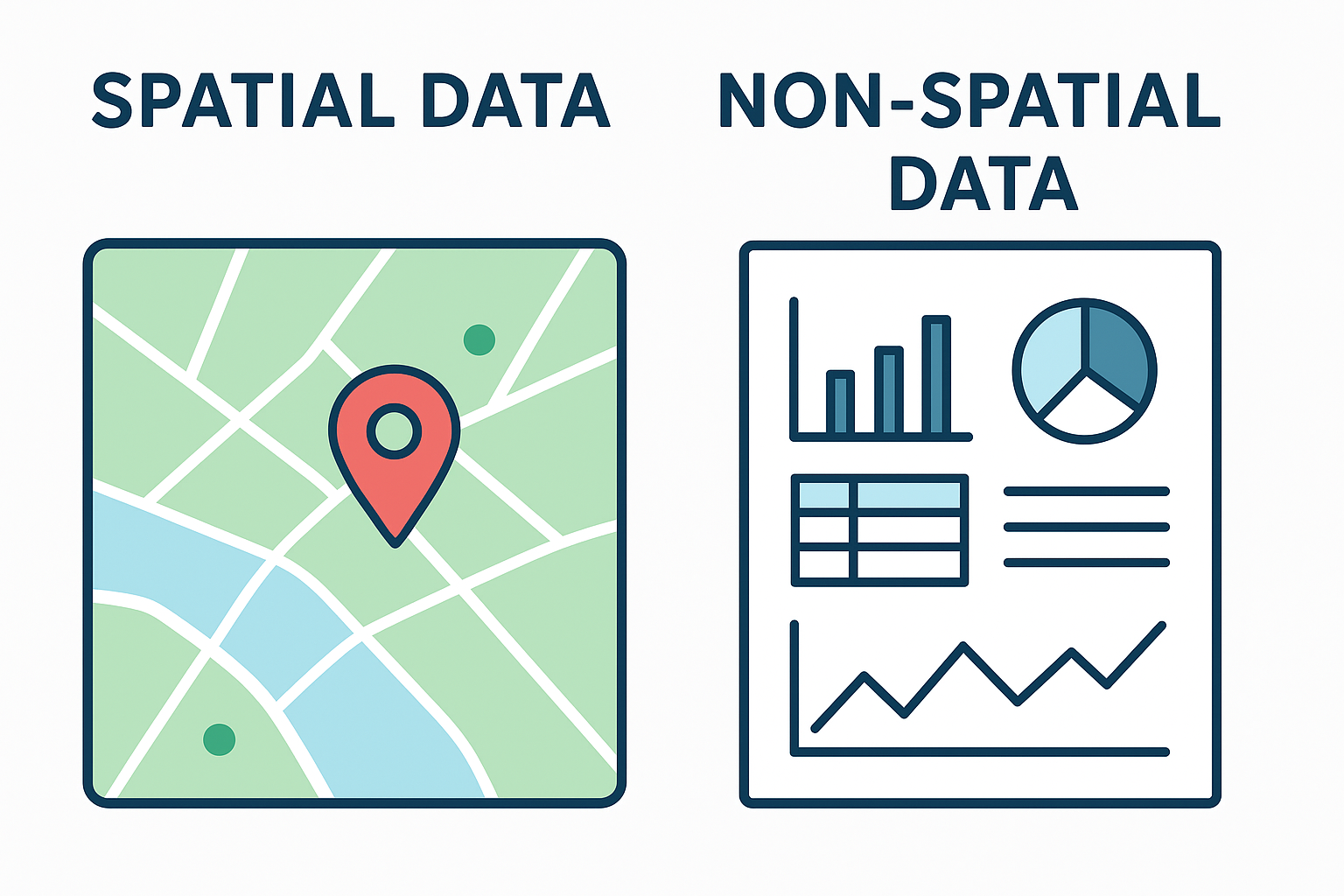
Here’s a clear comparison between spatial data and non-spatial data:
| Feature | Spatial Data | Non-Spatial Data |
|---|---|---|
| Definition | Data that represents the location, shape, and size of physical features on Earth | Data that lacks geographical or locational context |
| Includes | Coordinates, geometry (points, lines, polygons), maps | Attributes, numbers, text, or categories |
| Examples | Location of schools on a map, boundaries of a park | Name of a school, number of students, school rating |
| Used in | GIS (Geographic Information Systems), mapping | Databases, spreadsheets, statistics |
| Visual Representation | Usually visualized on a map | Typically shown in tables or charts |
| Associated Attributes | Often linked with non-spatial attributes (e.g., a building’s location + its height, type, etc.) | Standalone or used to describe spatial features |
Simple Example:
- Spatial Data: A point with coordinates (40.7128° N, 74.0060° W) representing the location of New York City.
- Non-Spatial Data: Population = 8.6 million, City Name = “New York City”, Median Income = $70,000.
Let me know if you’d like this in a visual format or need examples in a specific field like urban planning or environmental science.
