
Coordinate Systems and Map Projections in GIS
Geographic Information Systems (GIS) rely heavily on coordinate systems and map projections to accurately represent and analyze spatial data. Understanding these fundamental concepts is crucial for anyone working with geographic data, as they determine how real-world locations are translated into digital maps and ensure spatial accuracy in analysis.
Understanding Coordinate Systems
A coordinate system provides a mathematical framework for determining the precise location of any point on Earth’s surface using numerical coordinates. Think of it as a universal addressing system for geographic features.
Geographic Coordinate Systems (GCS)
Geographic Coordinate Systems use the Earth’s three-dimensional spherical surface as their reference framework. They represent locations using angular measurements:
Key Characteristics:
- Latitude: Measures north-south position from the Equator (0°) to the poles (±90°)
- Longitude: Measures east-west position from the Prime Meridian (0°) to ±180°
- Units: Decimal degrees, degrees-minutes-seconds (DMS)
- Reference: Earth’s center serves as the origin point
Common Examples:
- WGS 84 (World Geodetic System 1984): The global standard used by GPS systems
- NAD 83 (North American Datum 1983): Primary datum for North America
- GRS 80: Similar to WGS 84, used in many national mapping systems
Projected Coordinate Systems (PCS)
Projected Coordinate Systems transform the curved Earth surface onto a flat, two-dimensional plane, enabling accurate measurements and calculations on maps.
Key Characteristics:
- Derived from: A Geographic Coordinate System through mathematical transformation
- Units: Linear measurements (meters, feet, kilometers)
- Origin: Varies by projection (often a central meridian and standard parallel)
- Applications: Mapping, surveying, engineering, urban planning
Popular Examples:
- Universal Transverse Mercator (UTM): Divides Earth into 60 zones, each 6° wide
- State Plane Coordinate Systems: Optimized for individual US states
- British National Grid: Used throughout Great Britain
Map Projections Explained
Converting Earth’s curved surface to a flat map inevitably introduces distortions. Map projections are mathematical formulas that minimize specific types of distortion while accepting others.
Understanding Projection Distortions
Every map projection must compromise on at least one of these properties:
Shape (Conformal Projections)
- Preserve local angles and shapes of small features
- Best for: Navigation, meteorology, topographic mapping
- Trade-off: Area distortion increases away from standard lines
Area (Equal-Area Projections)
- Maintain correct relative sizes of regions
- Best for: Statistical mapping, demographic analysis, resource distribution
- Trade-off: Shape distortion, especially at projection edges
Distance (Equidistant Projections)
- Preserve accurate distances from specific points or along certain lines
- Best for: Radio broadcasting coverage, seismic analysis
- Trade-off: Cannot preserve distance everywhere simultaneously
Direction (Azimuthal Projections)
- Maintain correct directions from central points
- Best for: Air navigation, radio communication
- Trade-off: Increasing distortion away from center point
Major Projection Categories
Cylindrical Projections Imagine wrapping a cylinder around the globe, then projecting Earth’s surface onto it.
- Mercator: Conformal projection, ideal for navigation but severely distorts polar regions
- Web Mercator (Pseudo-Mercator): Modified version used by Google Maps, OpenStreetMap
- Miller Cylindrical: Compromise projection reducing Mercator’s polar distortion
- Best for: World maps, web mapping, equatorial regions
Conic Projections Project Earth’s surface onto a cone, typically touching along one or two standard parallels.
- Albers Equal-Area Conic: Preserves area, excellent for continental mapping
- Lambert Conformal Conic: Preserves shape, widely used for topographic maps
- Polyconic: Uses multiple cones, reducing distortion across large areas
- Best for: Mid-latitude regions, continental mapping, weather forecasting
Azimuthal Projections Project onto a flat plane touching Earth at a single point.
- Stereographic: Conformal, useful for polar regions
- Orthographic: Shows Earth as it appears from space
- Azimuthal Equal-Area: Preserves area relationships
- Best for: Polar regions, hemispheric views, regional analysis
Coordinate Reference Systems (CRS)
A Coordinate Reference System combines a coordinate system with a datum to provide a complete framework for spatial referencing.
Components of a CRS
Datum
- Defines the size, shape, and position of the Earth model
- Accounts for local variations in Earth’s surface
- Examples: WGS 84, NAD 27, NAD 83, ITRF
Ellipsoid
- Mathematical model approximating Earth’s shape
- Defined by semi-major axis and flattening parameters
- Examples: GRS 80, Clarke 1866, WGS 84 ellipsoid
Prime Meridian
- Reference line for longitude measurements
- Greenwich is the international standard (0°)
- Some local systems use different prime meridians
EPSG Codes
The European Petroleum Survey Group (EPSG) database provides standardized codes for coordinate reference systems:
- EPSG:4326: WGS 84 geographic coordinates (lat/lon)
- EPSG:3857: Web Mercator (used by Google Maps, Bing Maps)
- EPSG:32633: UTM Zone 33N (northern hemisphere)
- EPSG:2154: French national coordinate system (RGF93 / Lambert-93)
Practical Applications in GIS
Choosing the Right Projection
Local Analysis (city, county level)
- Use local coordinate systems (State Plane, national grids)
- Prioritize accuracy over global compatibility
- Consider local surveying standards
Regional Analysis (state, province level)
- Conic projections often work well
- Balance between accuracy and area coverage
- Consider existing data standards
National/Continental Analysis
- Equal-area projections for statistical analysis
- Conic projections for shape preservation
- Consider established national standards
Global Analysis
- Web Mercator for web mapping
- Equal-area projections for global statistics
- Consider data visualization requirements
GIS Software Considerations
Data Management
- Store data in appropriate native projections
- Document CRS information with metadata
- Use consistent naming conventions
Analysis Workflows
- Ensure all layers use the same CRS before analysis
- Understand when reprojection is automatic vs. manual
- Validate results after coordinate transformations
Performance Optimization
- Minimize unnecessary reprojections
- Use projected coordinates for area/distance calculations
- Consider data storage formats that preserve CRS information
Common GIS Operations
Reprojection The process of converting spatial data from one coordinate reference system to another:
Original CRS → Transformation → Target CRS
Coordinate Transformation
- Datum shifts: Account for different Earth models
- Projection changes: Alter the mathematical mapping method
- Unit conversions: Change measurement units (degrees to meters)
Quality Control
- Verify coordinate ranges are reasonable
- Check for transformation artifacts
- Validate against known reference points
Best Practices and Troubleshooting
Planning Your GIS Project
- Identify your study area and scale
- Research local coordinate system standards
- Consider your analysis requirements
- Document your CRS choices
- Plan for data integration needs
Common Issues and Solutions
Misaligned Layers
- Cause: Different coordinate reference systems
- Solution: Reproject all layers to common CRS
- Prevention: Establish project CRS early
Inaccurate Measurements
- Cause: Using geographic coordinates for area/distance calculations
- Solution: Reproject to appropriate projected coordinate system
- Prevention: Use projected CRS for quantitative analysis
Distorted Visualizations
- Cause: Inappropriate projection for display area
- Solution: Choose projection optimized for your region
- Prevention: Match projection to geographic extent
Validation Techniques
- Compare calculated distances with known measurements
- Verify area calculations against official statistics
- Check coordinate ranges for reasonableness
- Cross-reference with multiple data sources
Advanced Topics
Custom Projections
Sometimes standard projections don’t meet specific project requirements. Custom projections can be created by:
- Modifying standard projection parameters
- Choosing optimal central meridians and standard parallels
- Adjusting for local accuracy requirements
Transformation Accuracy
Different transformation methods provide varying levels of accuracy:
- 3-parameter transformations: Simple, lower accuracy
- 7-parameter transformations: More complex, higher accuracy
- Grid-based transformations: Highest accuracy for local areas
Future Considerations
- Dynamic datums: Account for tectonic plate movement
- Time-dependent coordinates: Handle coordinate changes over time
- Improved Earth models: More accurate ellipsoids and geoids
Coordinate systems and map projections form the spatial foundation of all GIS work. Understanding these concepts enables you to:
- Make informed decisions about data representation
- Ensure spatial accuracy in analysis
- Avoid common pitfalls in GIS projects
- Effectively communicate spatial information
Success in GIS requires not just knowing which projection to use, but understanding why that choice matters for your specific application. Whether you’re mapping urban development, analyzing environmental patterns, or planning infrastructure projects, the right coordinate system and projection will ensure your spatial analysis is both accurate and meaningful.
Remember that there is no “perfect” projection – only projections that are appropriate for specific purposes, scales, and geographic regions. The key is matching the projection’s strengths to your project’s requirements while understanding and accounting for its limitations.
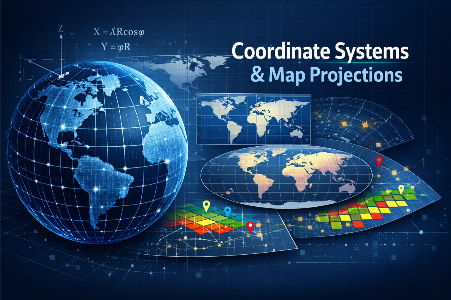
Diagram showing how GCS and PCS

