OS MasterMap Commercial Licence Pricing Guide OS MasterMap is the most detailed and accurate digital mapping database of Great Britain, […]


OS MasterMap Commercial Licence Pricing Guide OS MasterMap is the most detailed and accurate digital mapping database of Great Britain, […]
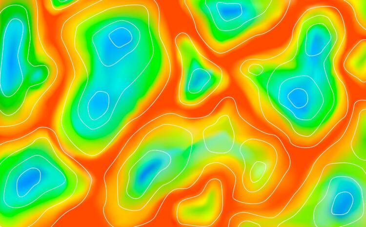
Creating Stunning Heatmaps in QGIS Heatmaps are powerful visualization tools that help identify patterns, clusters, and hotspots in your spatial […]
Spatial Databases in GIS (Geographic Information Systems) are specialized databases designed to store, query, and manipulate spatial or geographic data. […]

Typically replies within a minute