Gis, Qgis, ArcGisΒ  Experts Just a Click Away

 How to Perform a Spatial Join in ArcGIS Pro

How to Perform a Spatial Join in ArcGIS Pro

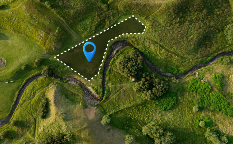
How to Perform Spatial Joins in ArcGIS Pro: A Complete Guide Spatial joins are among the most powerful analytical tools in GIS, enabling you to combine datasets based on their geographic relationships rather than shared attribute values. Whether you’re analyzing…

Coordinate systems and map projections in GIS

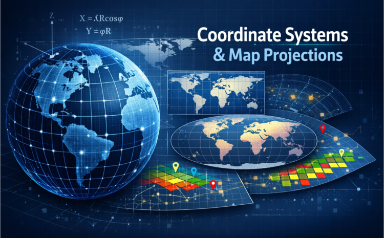
Coordinate Systems and Map Projections in GIS Geographic Information Systems (GIS) rely heavily on coordinate systems and map projections to accurately represent and analyze spatial data. Understanding these fundamental concepts is crucial for anyone working with geographic data, as they…

Gabby Jones

Typically replies within a minute

Hello, Welcome to the site. Please click below button for chating me throught WhatsApp.