Import CAD Data into ArcGIS Pro Transform your CAD designs into powerful geospatial data with ArcGIS Pro’s robust CAD integration […]


Import CAD Data into ArcGIS Pro Transform your CAD designs into powerful geospatial data with ArcGIS Pro’s robust CAD integration […]
Unleashing the Power of LiDAR Data in ArcGIS LiDAR (Light Detection and Ranging) technology has revolutionized how we capture, analyze, […]

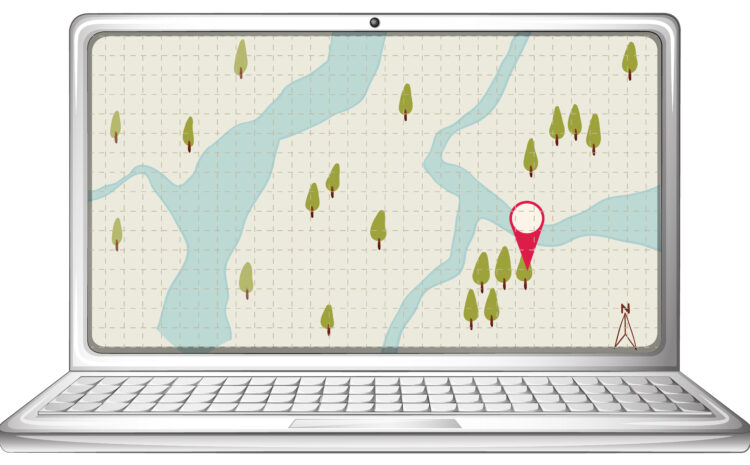
The Best ArcGIS Online Templates for Interactive Maps Interactive mapping has become essential for organizations looking to visualize data, tell […]

How to Publish a Raster Dataset to ArcGIS Online Publishing raster data to ArcGIS Online allows you to share imagery, […]

How to Connect ArcGIS Pro to a PostGIS Database PostGIS is a powerful spatial extension of PostgreSQL that adds support […]
Automating GIS Tasks with Python: A Practical Guide Geographic Information Systems (GIS) are powerful for analyzing spatial data, creating maps, […]

Troubleshooting Geocoding in ArcGIS Geocoding is one of the most powerful features in ArcGIS, allowing you to convert addresses into […]

How to Convert GPS Points to a Shapefile If you’ve collected GPS points in the field—whether from a handheld GPS […]
How to Fix Geometry Errors in QGIS When working with spatial data, geometry errors are a common challenge. These errors […]

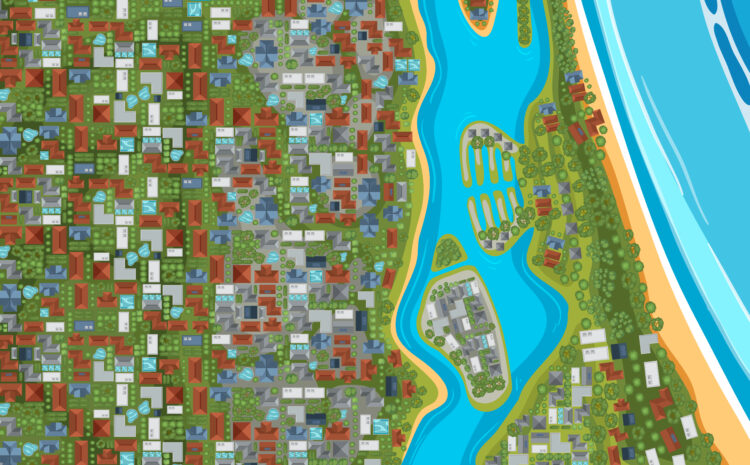
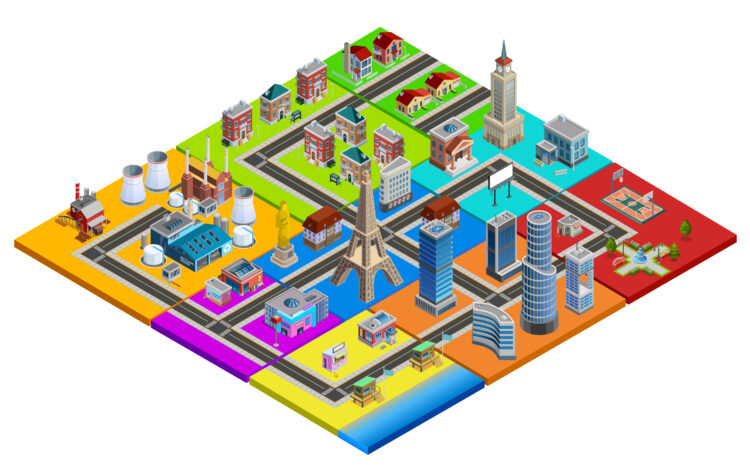
Best GIS Software for Real Estate Analysis in 2025 Geographic Information Systems (GIS) have become a game-changer for the real […]

Typically replies within a minute