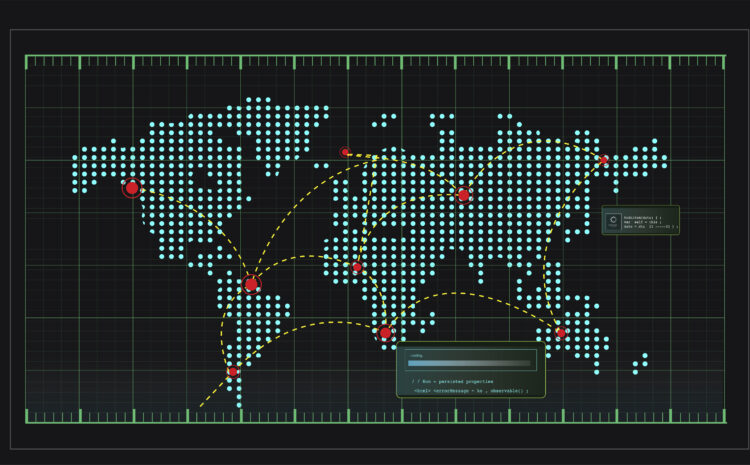
Python in QGIS Scripting QGIS (Quantum Geographic Information System) is one of the most popular open-source GIS applications, and its […]
EDINA Digimap Academic Access Guide EDINA Digimap is a comprehensive online mapping and geospatial data service specifically designed for UK […]
Ordnance Survey API Integration Tutorial The Ordnance Survey (OS) APIs provide access to Britain’s most detailed and accurate geospatial data. […]
OS VectorMap District Download Instructions OS VectorMap District is a free, open dataset from Ordnance Survey providing a simple vector […]
Complete Guide to Downloading Ordnance Survey OpenData for Free Ordnance Survey (OS) is Britain’s national mapping agency, providing some of […]
Parliamentary Constituency Boundaries GIS Data Parliamentary constituency boundaries represent one of the most critical datasets in democratic governance, defining the […]
Lower Layer Super Output Areas (LSOA) Mapping Lower Layer Super Output Areas (LSOAs) represent one of the most important statistical […]
3D Mapping with ArcGIS Pro – Complete Step-by-Step Guide Prerequisites and Setup System Requirements Initial Configuration Creating Your First 3D […]


