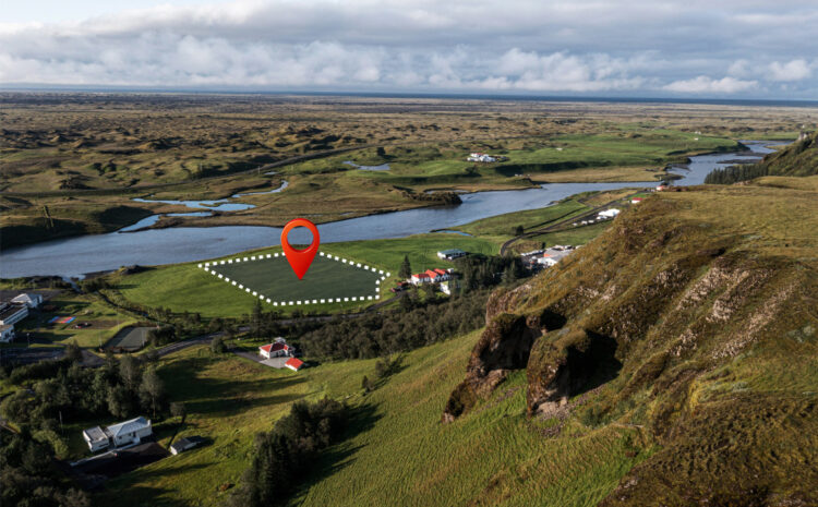
How to Classify Satellite Imagery in QGIS Satellite imagery classification is a fundamental technique in remote sensing that allows you […]
NDVI Calculation Using QGIS Raster Calculator What is NDVI? The Normalized Difference Vegetation Index (NDVI) is one of the most […]
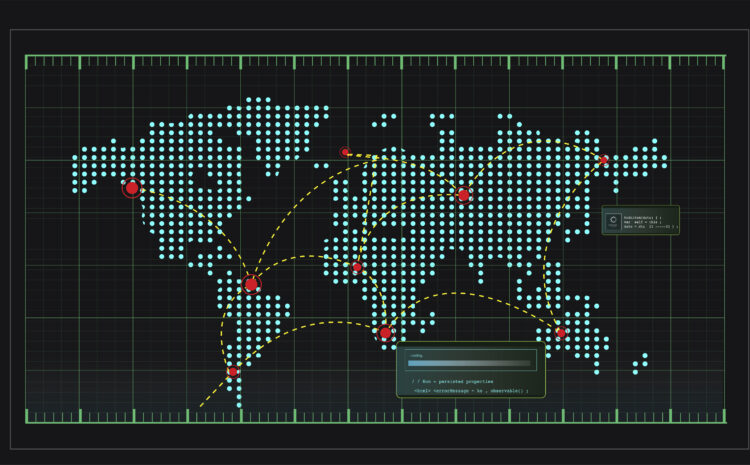
Python in QGIS Scripting QGIS (Quantum Geographic Information System) is one of the most popular open-source GIS applications, and its […]
Python GIS Projects for Practice Geographic Information Systems (GIS) combined with Python’s powerful libraries create endless possibilities for spatial analysis, […]
The Ultimate Guide: Best Python Tutorials for GIS Students in 2025 Geographic Information Systems (GIS) and Python have become inseparable […]
UK University GIS Software Licensing: Navigating the New Landscape The Geographic Information Systems (GIS) software licensing landscape for UK universities […]
EDINA Digimap Academic Access Guide EDINA Digimap is a comprehensive online mapping and geospatial data service specifically designed for UK […]
Ordnance Survey API Integration Tutorial The Ordnance Survey (OS) APIs provide access to Britain’s most detailed and accurate geospatial data. […]
OS VectorMap District Download Instructions OS VectorMap District is a free, open dataset from Ordnance Survey providing a simple vector […]
Setting Up the British National Grid Coordinate System in QGIS The British National Grid (BNG) is the official coordinate reference […]


