NYC Air Pollution GIS Data: A Comprehensive Guide to Mapping Urban Air Quality New York City’s air quality monitoring and […]
NYC Transportation GIS Shapefiles New York City offers extensive transportation GIS data through multiple sources, providing researchers, planners, and developers […]
California Statewide Zoning GIS Data California’s statewide zoning Geographic Information System (GIS) data represents one of the most ambitious efforts […]

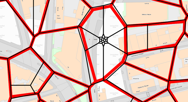
OS VectorMap District Download Instructions OS VectorMap District is a free, open dataset from Ordnance Survey providing a simple vector […]

Complete Guide to Downloading Ordnance Survey OpenData for Free Ordnance Survey (OS) is Britain’s national mapping agency, providing some of […]

UK Census 2021 Data GIS Mapping Tutorial Introduction The UK Census 2021 represents the most comprehensive snapshot of the UK […]

Parliamentary Constituency Boundaries GIS Data Parliamentary constituency boundaries represent one of the most critical datasets in democratic governance, defining the […]

NAD83 CSRS vs NAD83 Original Introduction The North American Datum of 1983 (NAD83) serves as a fundamental geodetic reference system […]
OS Code-Point Open Postcode Mapping Data Ordnance Survey’s Code-Point® Open is an open dataset of all the current postcode units […]

Traffic Counter Data GIS Integration: Comprehensive Guide Overview Traffic counter data GIS integration involves combining vehicle count information from various […]


Gabby Jones
Typically replies within a minute