1. QGIS (Quantum GIS) 2. GRASS GIS 3. gvSIG 4. MapServer 5. GeoServer 6. OpenLayers 7. Leaflet 8. SAGA GIS […]
Big Data refers to datasets so large, fast, or complex that traditional data-processing methods struggle to handle them. It is […]
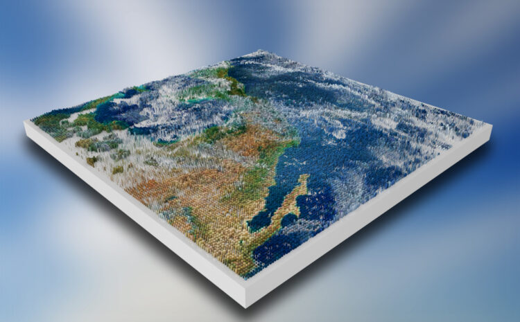
3D GIS refers to geographic information systems that represent and analyze spatial data in three dimensions (including height/elevation). It enables […]
Unmanned aerial vehicles (UAVs, or “drones”) have become powerful tools for collecting geospatial data for GIS. Fitted with advanced sensors, […]
Augmented Reality (AR) and Virtual Reality (VR) are increasingly being integrated with GIS to create immersive, spatially-aware experiences. AR overlays […]
FME is a no-code data integration platform (by Safe Software, Canada) focused on geospatial ETL. Originally a “Feature Manipulation Engine” […]
Geographic Information Systems (GIS) increasingly rely on scripting to automate repetitive tasks, ensure reproducibility, and integrate complex analyses. The dominant […]
R for Spatial Analysis Spatial analysis involves working with geographically referenced data (with coordinates) and is increasingly important across disciplines. […]
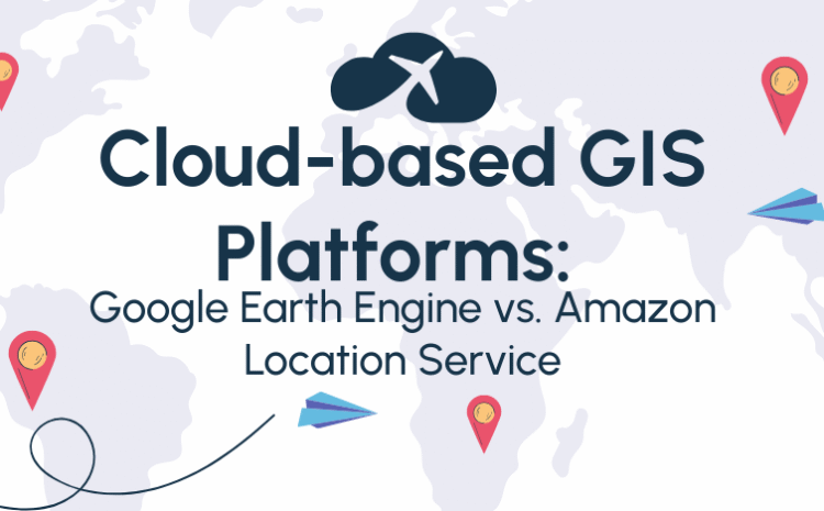
Cloud-based Geographic Information Systems (GIS) provide scalable, server-hosted tools for mapping and spatial analysis without on-premises infrastructure. Two prominent offerings […]
Web mapping platforms have revolutionized how we create interactive maps for web and mobile applications. This report compares three prominent […]


Gabby Jones
Typically replies within a minute