
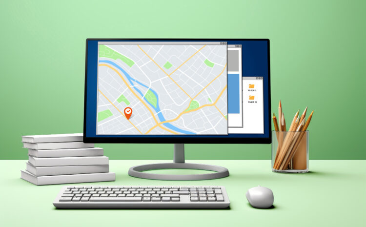
GIS Consultants: Your Trusted GIS Partner in Dallas, Texas Unlocking the Power of Geographic Data for Dallas Businesses Dallas stands […]
California Wildfire GIS Datasets: Download Sources and Links California offers extensive GIS datasets for wildfire analysis, mapping, and research through […]

Free Satellite Imagery Sources for Mapping: A Comprehensive Guide Satellite imagery has revolutionized the field of mapping and geographic analysis, […]

Custom Color Ramps in QGIS Transform your GIS visualizations with professionally designed color schemes that enhance data interpretation and create […]

Complete Guide to Labeling Roads and Rivers in QGIS Labeling is a crucial aspect of cartographic design that transforms raw […]
How to Add Basemaps in QGIS Basemaps provide essential geographic context for your spatial data in QGIS. They serve as […]

How to Use the Raster Calculator in ArcGIS The Raster Calculator in ArcGIS is a powerful tool for performing map […]
How to Georeference a Map in ArcGIS Georeferencing is the process of assigning real-world coordinates to a map or an […]

How to Join Two Tables in ArcGIS Joining tables in ArcGIS is a fundamental GIS task that allows you to […]

Complete Guide: How to Convert Shapefile to KML Shapefiles are the cornerstone of GIS data storage, but when you need […]
