How to Use the Raster Calculator in ArcGIS The Raster Calculator in ArcGIS is a powerful tool for performing map […]

How to Use the Raster Calculator in ArcGIS The Raster Calculator in ArcGIS is a powerful tool for performing map […]
How to Georeference a Map in ArcGIS Georeferencing is the process of assigning real-world coordinates to a map or an […]
How to Join Two Tables in ArcGIS Joining tables in ArcGIS is a fundamental GIS task that allows you to […]

Complete Guide: How to Convert Shapefile to KML Shapefiles are the cornerstone of GIS data storage, but when you need […]
Complete Guide to Migrating from ArcMap to ArcGIS Pro ArcMap, while reliable, reached its end-of-life support in March 2026. ArcGIS […]

Import CAD Data into ArcGIS Pro Transform your CAD designs into powerful geospatial data with ArcGIS Pro’s robust CAD integration […]
Unleashing the Power of LiDAR Data in ArcGIS LiDAR (Light Detection and Ranging) technology has revolutionized how we capture, analyze, […]

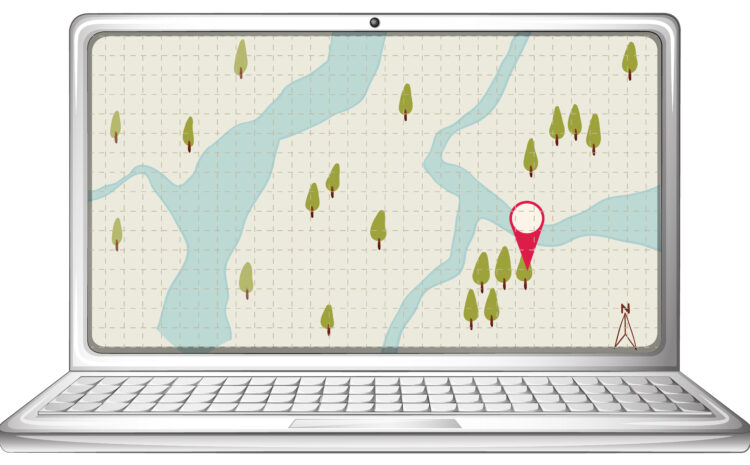
Python GIS for Hydrological Modeling Hydrological modeling has undergone a significant transformation with the advent of open-source Geographic Information Systems […]

Python Spatial Statistics for GIS Spatial statistics combines statistical analysis with geographic data to understand patterns, relationships, and processes that […]
Python for Spatial Clustering in GIS Spatial clustering is a fundamental technique in Geographic Information Systems (GIS) that groups spatial […]

Typically replies within a minute