ArcPy ArcPy Buffer Analysis Examples ArcPy Buffer Analysis Buffer analysis is one of the most fundamental spatial analysis operations in […]
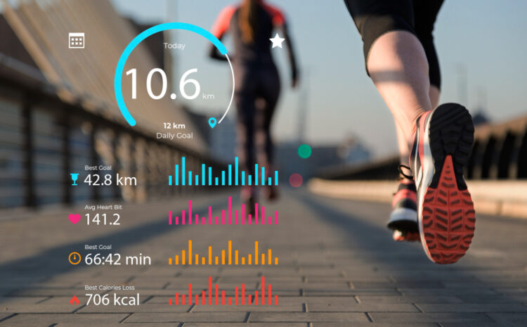
Personal Fitness Tracking GIS Analysis: Revolutionizing Health Through Geographic Intelligence The intersection of personal fitness tracking and Geographic Information Systems […]
ArcPy Raster to Polygon Conversion Converting raster data to polygon features is a fundamental operation in GIS analysis and spatial […]
ArcPy Calculate Zonal Statistics in Python Zonal statistics are fundamental operations in GIS analysis that allow you to calculate summary […]

Custom Color Ramps in QGIS Transform your GIS visualizations with professionally designed color schemes that enhance data interpretation and create […]
Complete Guide to Labeling Roads and Rivers in QGIS Labeling is a crucial aspect of cartographic design that transforms raw […]
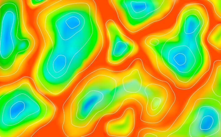
Creating Stunning Heatmaps in QGIS Heatmaps are powerful visualization tools that help identify patterns, clusters, and hotspots in your spatial […]
QGIS Symbology for Population Density Maps Population density maps are essential tools for understanding demographic patterns, urban planning, and resource […]
How to Add Basemaps in QGIS Basemaps provide essential geographic context for your spatial data in QGIS. They serve as […]

Home Security Camera GPS Mapping: The Complete Guide to Location-Based Security Systems Modern home security has evolved far beyond simple […]


Gabby Jones
Typically replies within a minute