Economic Geography GIS Research Methods Economic geography examines the spatial distribution of economic activities, the relationships between places and economic […]


Economic Geography GIS Research Methods Economic geography examines the spatial distribution of economic activities, the relationships between places and economic […]
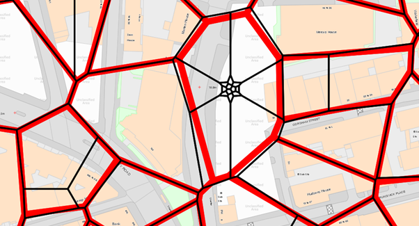
OS Code-Point Open Postcode Mapping Data Ordnance Survey’s Code-Point® Open is an open dataset of all the current postcode units […]
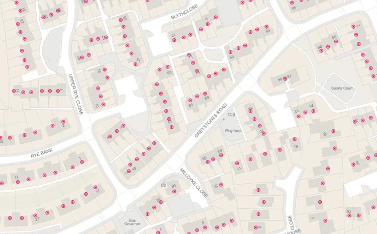
AddressBase Premium vs AddressBase Core comparison AddressBase Premium and AddressBase Core represent two different approaches to address data provision from […]

Weather Station Data Visualization in GIS 1. Introduction to Weather Station Data in GIS Weather station data visualization in Geographic […]

Traffic Counter Data GIS Integration: Comprehensive Guide Overview Traffic counter data GIS integration involves combining vehicle count information from various […]

Best ArcMap Alternatives for Students ArcMap has been discontinued by Esri, making it essential for students to find suitable alternatives […]
ArcMap vs QGIS Performance The performance comparison between ArcMap and QGIS represents a critical decision point for GIS professionals and […]

Spatial Statistics for Graduate Students Spatial statistics represents a specialized branch of statistics that deals with the analysis of spatially […]
Adding Shapefiles to ArcMap What is a Shapefile? A shapefile is a vector data format that stores geometric location and […]
ArcMap vs ArcGIS Pro Geographic Information Systems (GIS) professionals often find themselves choosing between ArcMap and ArcGIS Pro, two flagship […]

Typically replies within a minute