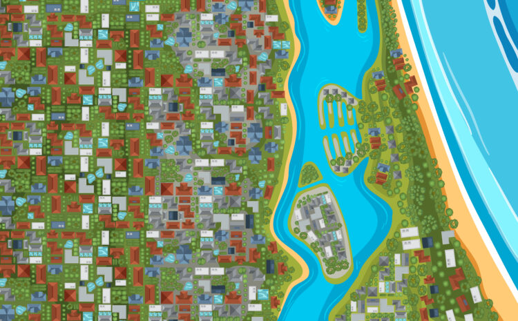
Automating GIS Tasks with Python: A Practical Guide Geographic Information Systems (GIS) are powerful for analyzing spatial data, creating maps, […]
Troubleshooting Geocoding in ArcGIS Geocoding is one of the most powerful features in ArcGIS, allowing you to convert addresses into […]
How to Convert GPS Points to a Shapefile If you’ve collected GPS points in the field—whether from a handheld GPS […]
How to Fix Geometry Errors in QGIS When working with spatial data, geometry errors are a common challenge. These errors […]
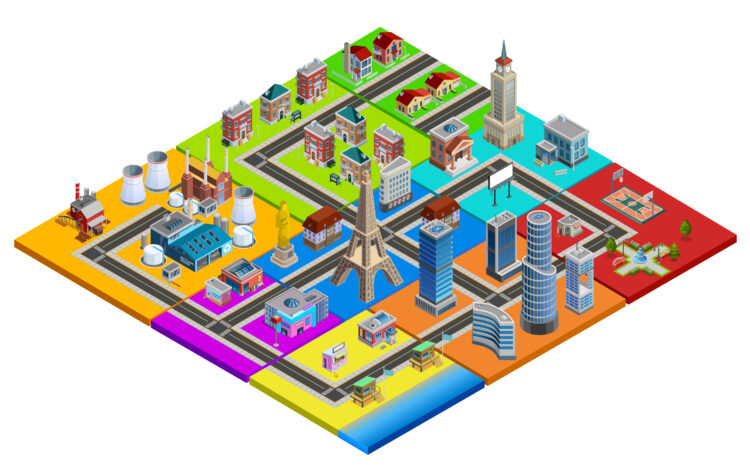
Best GIS Software for Real Estate Analysis in 2025 Geographic Information Systems (GIS) have become a game-changer for the real […]
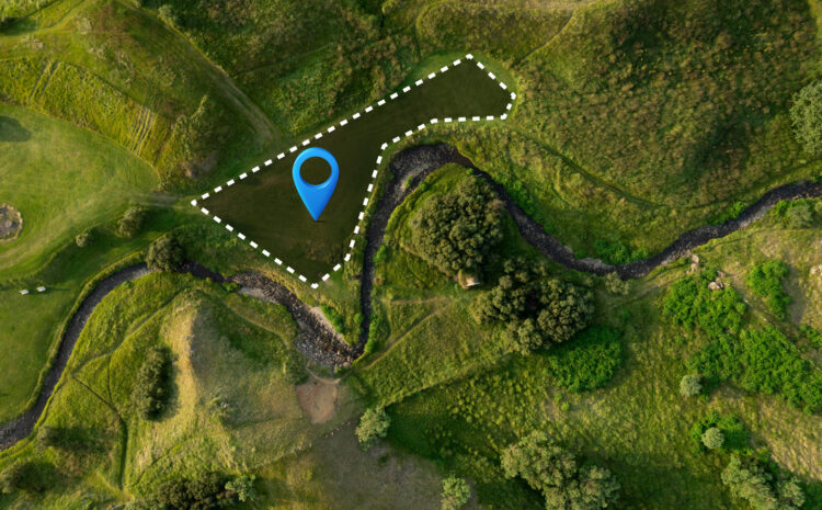
How to Map Land Parcels in QGIS (Australia) If you’re working with land data in Australia and want to map […]
How to Perform Spatial Joins in ArcGIS Pro: A Complete Guide Spatial joins are among the most powerful analytical tools […]
Free GIS Shapefiles for New York Counties You have several reliable options for obtaining freely available county-level GIS shapefiles for […]
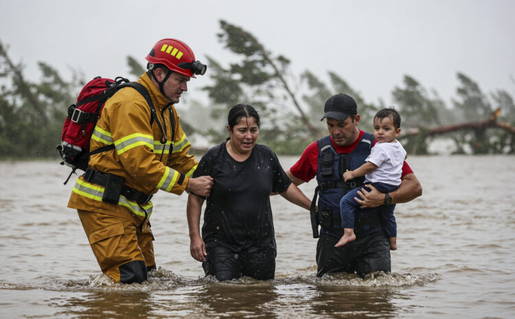
Key Sources & What You Can Download 1. Texas Water Development Board (TWDB) – Flood Planning Data Hub 2. TWDB […]
Free GIS Data Sources for Saudi Arabia (KSA) 1. Saudi Open Data Platform 2. Riyadh Municipality Spatial Gateway 3. OpenStreetMap […]

